Nimis, Ladonia
Where is Ladonia?
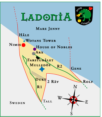
Ladonia is situated on the very southern edge of the Scandinavian Peninsula, somewhat between the Swedish towns of Mölle and Arild. The map coordinates of Ladonia are 56° 17′ 16″ N, 12° 32′ 22″ E. On many Google Maps, Ladonia is marked simply as “Nimis”.
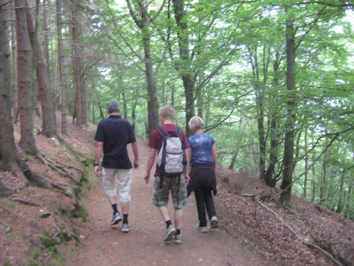
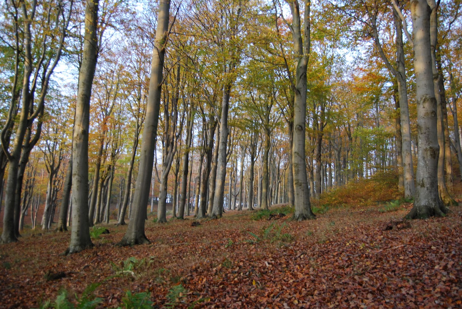
Every year, despite the sometimes treacherous hike, tens of thousands of tourists and pilgrims make the journey through the woods and down the steep hillside into Ladonia from the Swedish side (land). The only other way to come to Ladonia is by boat (sea). In Arild, there is a man that will take people to Ladonia by boat, but only in the VERY best weather. If the seas are even slightly choppy, the boat cannot get close enough to the shore.
Directions to Ladonia (by Car and by Foot)
Drive about 40 km northwest from Helsingborg. E20, E6, exit direction Höganäs (roads 112 or 111). Then follow the 111 to Mölle.
On the 111, just before the camping (on the left), you will arrive at a crossroad (200m from the camping). There, make a right to Arild and drive about 500m. Then, make a left on the Himmelstorpsvägen, which goes directly into the forest.
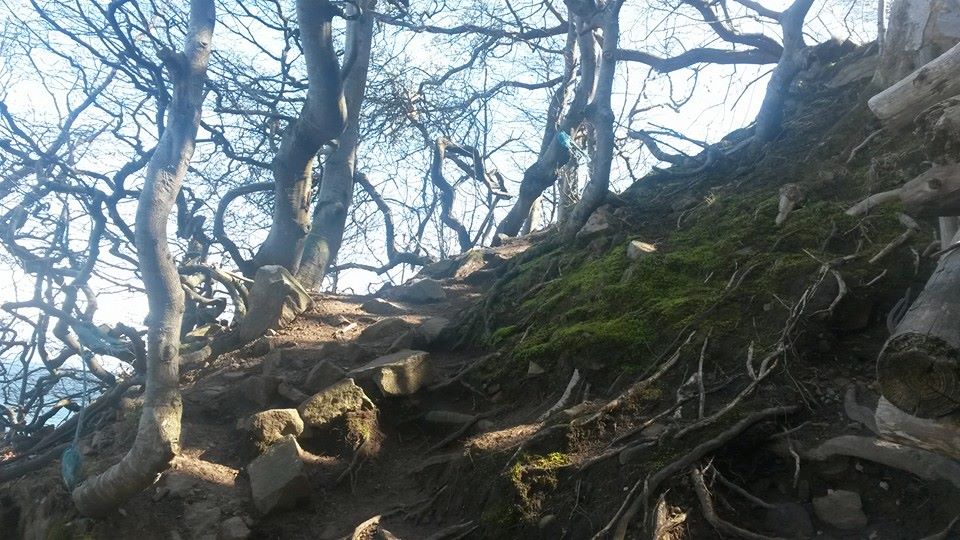
You will come to a clearing containing an old red barn. This is Himmelstorp. At Himmelstorp, you will find parking and signs to go to Nimis. Follow the signs (sometimes they are just yellow Ns carved into fence posts). The walk is about 40 minutes long and is quite steep in some places and extremely uneven terrain. Wear sensible shoes.
The Ladonian Landscape
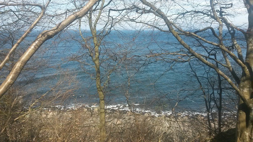
Ladonia is a triangle of land about 1 square km in size. Most visitors enter from the south and thus passing the Borderstation Tall. Highway No 1 leads to Nimis through woods and the steep precipice Stup.
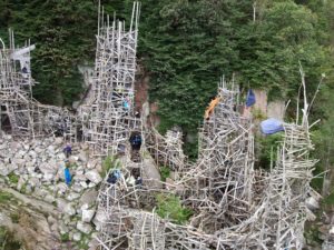
Nimis
The total length of Nimis is about 200 meters and the highest point is about 15 meters. Every part of this wood-piece is possible to enter and you can walk inside it. In front of Nimis you’ll find the Tower of Wotan which is situated close to the sea. Under the high Tower of the Winds the National Library is to be found.
Arx
About 60-70 meters to the east Arx appears. Arx is a stone-book of 150 tons. At the moment the second copy is almost finished thus forming together a small library consisting of 300 tons of stones and concrete. Behind Arx there is a small opening between the bushes. Among the trees the Highway No 2 begins. After a few meters, the apple tree of the Hesperides can be found and shortly forward opens the ravine Farstuhålet with a small cave. Traces of human beings have been discovered here, probably very old. After passing Farstuhålet the Wall (Kallmur) can be seen. It isn´t known who actually built it or when. Highway No 2 leads to Drommen, a plain with trees and stones and brings the visitor to the east border and Borderstation Rolf with Rolf’s Park. These places are a memorial of the tragic death of the Swedish philosopher Rolf Gottfries.
forestwalking

3845178603_37684117fd
DSC_1600
10405302_1601718486781302_4111874932501212224_n

JamesMegan.JPG

EB_Lars_Vilks_6_603168v530x800